Introduction
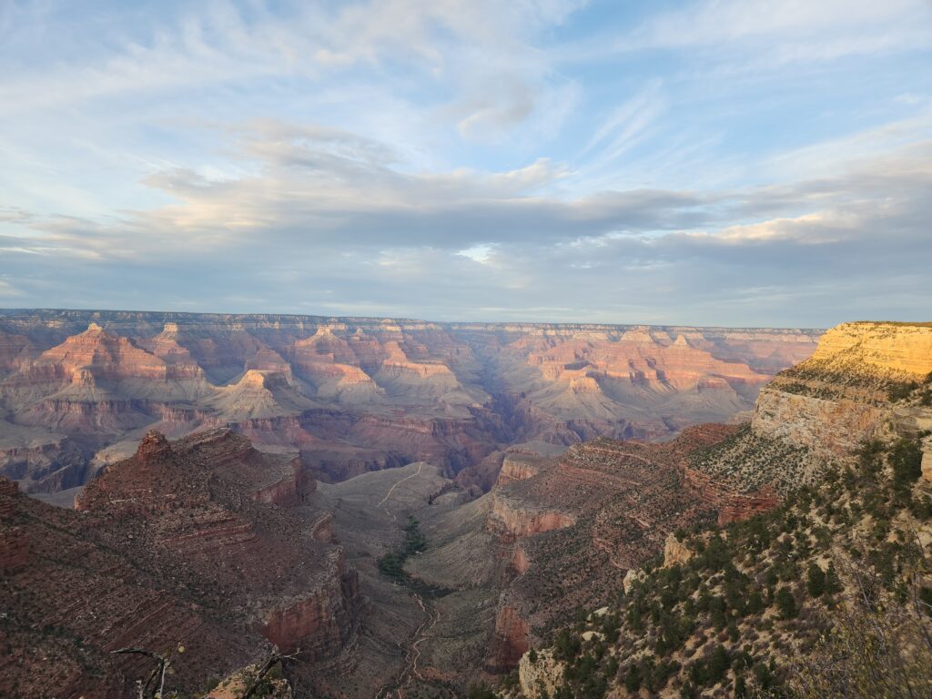
The Grand Canyon is an epic natural wonder, with jaw-dropping views and layers of rock that reveal Earth’s ancient history. From vibrant colors that shift with the sunlight to trails that lead deep into its vast beauty, it’s a place that leaves you in total awe and eager to explore more.
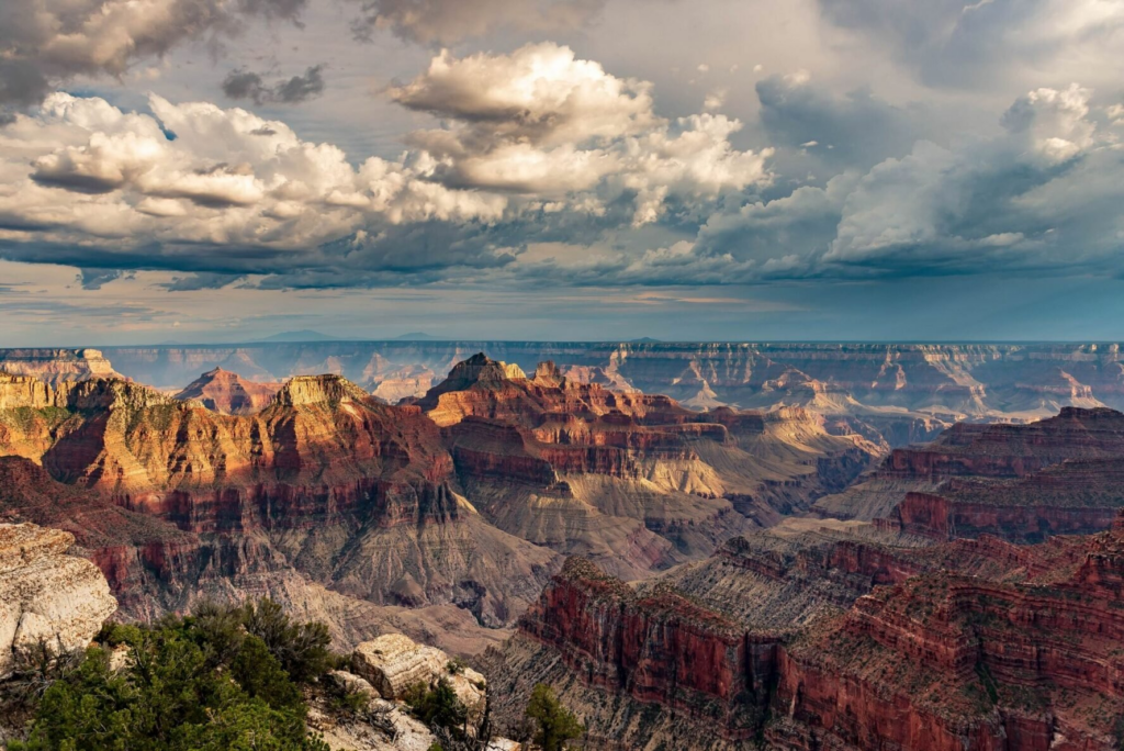
The first and only time I visited the Grand Canyon was almost five years ago during a week-long tour of national parks in Arizona and Utah. We only peeked inside from the South Rim near the Grand Canyon Village, and the views were breathtaking. Since then, I had this idea of one day going all the way down and hiking it properly. At that time, however, I had no business attempting it, being completely out of shape and living sedentary lifestyle.
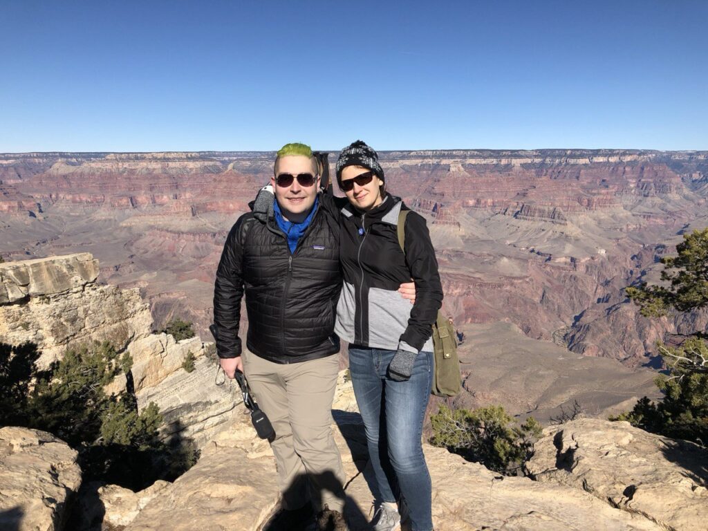
Fast forward several years, after running a few marathons and ultras, the dream finally became truly viable. In the ultra-running community, it’s a major accomplishment to complete the Grand Canyon ‘Rim-to-Rim-to-Rim’—a 40- to 45-mile route with 11000+ ft of elevation gain. I’m still not entirely sure how that’s feasible, let alone in under 6 hours, but the existence of these records made the idea of a more vanilla ‘Rim-to-Rim’ hike seem possible for us ‘mere mortals.’ After reading enough Reddit threads and watching YouTube videos, it became clear: it’s a beautiful hike that’s tough, but more than doable with the right preparation and training.
Around 2023, I started to yearn for more adventures to break up the ‘Groundhog Day’ routine. This led me to register for and complete the Comrades Marathon–a grueling hilly 53-mile road ultra in South Africa–this past June, and the Grand Canyon hike felt like the natural next link in the chain. By August, my friend Huck decided to join the trip, making it more exciting, and that’s when we moved into the planning stage.
Planning
The Rim-to-Rim trail is:
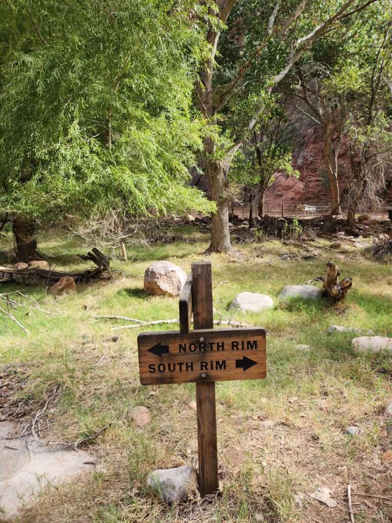
- Super easy to navigate: there are signs and maps everywhere. It’s very hard to get lost;
- Not technical at all: there is no scrambling or dicey footing involved;
- Well-supported: there are many water sources and well-maintained bathrooms along the way, and if any water sources are down, a good part of the trail follows a creek, which can be used to filter water.
This leaves you to ‘only’ focus on:
- Distance and elevation gain: it’s a long hike (21+ miles depending on a particular route) with a significant climb at the end of it (5000+ ft of elevation gain);
- Temperature: the canyon’s interior can get extremely hot, depending on the season.
So, this hike was exactly perfect for my background of having strong running fitness but with less experience on technical trails or in extreme environments.
Timing
The end of October seemed like a nice time to do the hike. Earlier it might still get scorchingly hot inside the canyon, and later winter kicks in and eventually, some facilities and trails begin to close. In the end, we got really lucky and the weather was as perfect as it could possibly be: it ranged from 37F (3C) at the North Rim in the morning and to 81F (27C) in the hottest spot during the day (which is relatively mild all things considered).
Route
“North Rim to South Rim” direction is more popular, since it involves slightly less elevation gain (the North Rim sits around 8000 ft and the South Rim at 7000 ft.), and the logistics is a bit easier to organize (see below). That’s the direction we chose. After 14 miles (at Phantom Ranch), the path forks into two: one goes up the South Kaibab Trail, another up the Bright Angel Trail. The former is 21 miles, while the latter is 24 miles. We chose Bright Angel, since there is a parking next to the trailhead, better water availability and less of the mule’s traffic. However, due to construction on part of the Bright Angel Trail, we had to take a detour along the Tonto Trail, so our route ended up being:
- 26 miles;
- 6700ft of elevation loss;
- followed by 5500ft of elevation gain;

Logistics
Here’s how our logistics played out:
- Friday: arrive to Flagstaff, stay in a motel;
- Saturday: drive to South Rim, leave the car, take a shuttle (NB: it takes 5 hours!) to North Rim, stay in a hotel;
- Sunday: take a shuttle to the trailhead, hike to the South Rim, pick up the car, drive back to Flagstaff, stay in a motel;
- Monday: depart from Flagstaff.
All the reservations were made in the early August, without any difficulties. A couple of minor considerations:
- You could stay directly at the South Rim, but we wanted to explore Flagstaff a bit, since it’s one of the two ‘capitals’ of distance running in the US, alongside Boulder, CO. In particular, we did a little shakeout run on Saturday around the NAU campus in order to acclimate to the altitude, at least a little bit.
- I flew to and from Las Vegas, rented a car, and drove to Flagstaff. It’s a long drive (almost four hours), but I just love driving in vast Arizona desert landscapes, especially during sunrise or sunset. It’s very soothing for the soul (after we drove between Phoenix and Tucson with my wife back in 2019, we were both hooked). If you prefer to cut down on the travel time, you can fly directly to Flagstaff, there is a little airport there.
- Given that we couldn’t take any stuff we didn’t take to the hike to the North Rim, it needed to be stored somewhere for a night. We just left everything in the parked car, since we deemed the parking sufficiently safe. But YMMV.
- You don’t need any permit for a day hike in the canyon, but you need a pass to enter the Grand Canyon village by car. The pass is good for up to 7 days.
- The hotel we stayed at the North Rim had no cell service and provided WiFi was extremely flaky. If you need to download anything go online, do it in advance.
Preparation
Training
Mostly, I didn’t do anything special other than the usual base training that I do year around. Two weeks before the hike, my coach programmed a 20-mile run on Saturday followed by a hike on Sunday (up and down the Mount Si for those who know) that had lots of elevation gain. This made my quads hurt for the next 3-4 days, but was useful for adapting to the downhills.
On the Internet, you can see lots of information that the Rim-to-Rim hike (specifically, the climb at the end of it that you need to do after 15-20 miles of walking, most of it downhill) is incredibly hard and how it might take you an hour to cover one mile during the climb, or some horror stories how the hike took 19 hours and people barely made it out. While it was clear that I was probably in a much better shape than people who experienced these scary situations, it was still quite humbling and I took the hike extremely seriously and decided to be as ready as possible.
After years of training, I have a pretty good sense of my Zone 2 heart rate: it’s between around 140 and 150 beats per minute. This corresponds to highest intensity I can sustain for many hours in a row (e.g., my average heart rate during 10 hours of Comrades was 148), and this is how I prefer to pace long climbs to avoid redlining. If any steep climb moves you outside of your “sustainable multi-hour zone”, and you constantly need to stop to catch a breath, think twice before doing “Rim-to-Rim”.
Gear
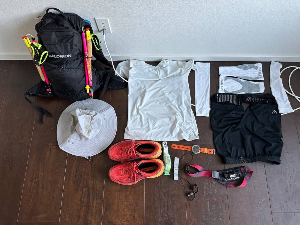
Here is what I brought for the hike:
- Poles: this is probably the most useful item on this hike, for both downhills and uphills. I know there is a school of thought that poles are useless for anything other than extra-steep climbs, but for me they really helped.
- Nutrition and hydration: I approached this hike as an ultra, where I’m not doing any running, so I prepared to consume only gels and water with electrolytes (don’t be stupid and don’t consume plain water, this will lead to your downfall, especially in the hot weather!), no real food whatsoever. I carried enough gels to be able to consume 60g of carbs per hour (that was LOTS of gels!), but ended up consuming just a half of them (some with caffeine). For hydration, I was dissolving 1000mg of sodium in a liter of water, and consumed around 5 liters (I knew the correct concentration for me since I did a sweat test the last year). I carried water in a 2L bladder, and it was more than enough, since there were constant water stations along the route (but note that it was not particularly hot!).
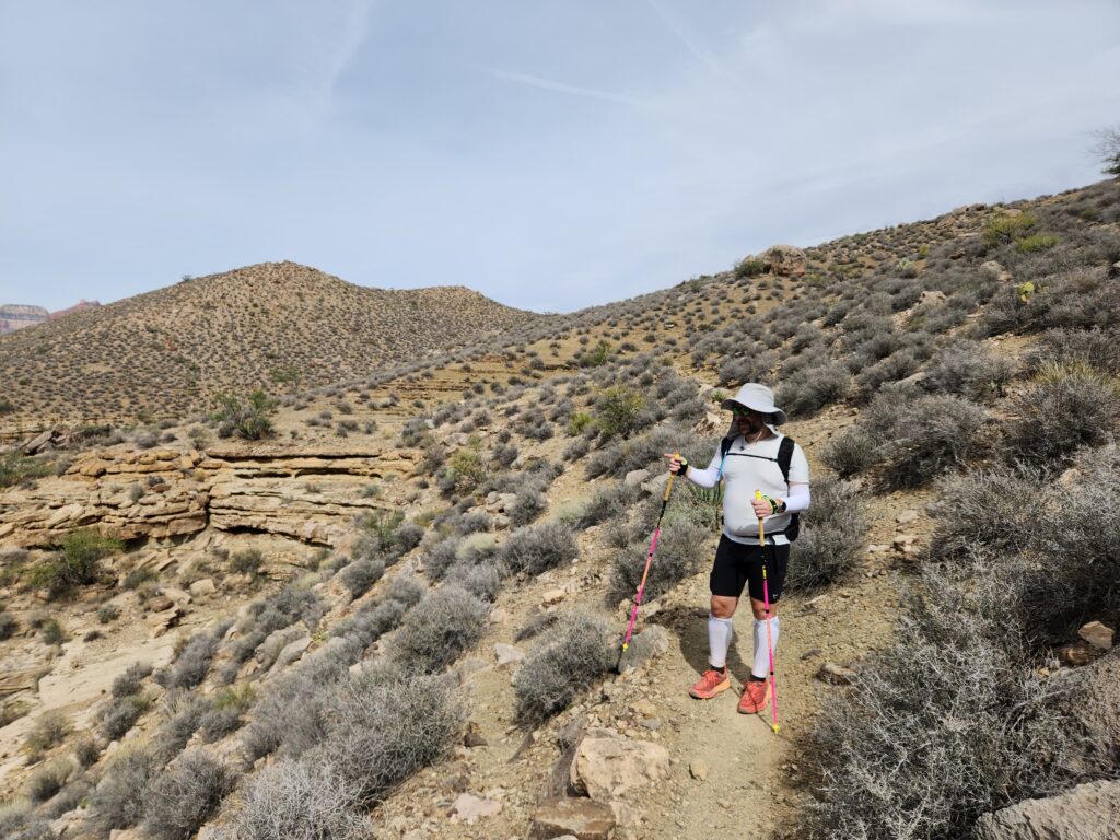
- Usual trail running set-up with some sun protection: given how non-technical the hike is, I decided to go for the usual trail running set with some twists. Namely: sun glasses, t-shirt, tights, running socks, trail running shoes, running watch, arm band heart rate monitor. However, to protect from the sun better, I also got: a wide-rimmed hat with a sun shield, cooling arm sleeves, and calf compression sleeves.
- Clothes and gear for dark and cold miles: the first few miles you will likely walk before the sunrise, so it will be pretty chilly and dark. I probably took too much stuff with me, and could have gotten way with way less, but let me list it just in case: base layer, gloves, warm jacket, wind/rain-proof jacket, headlamp, waistlamp, beanie, hiking pants.
- Emergency stuff: (most of these items we shared between the two of us) Ibuprophen, sunscreen, band aids, satellite communicator to be able to call SOS, spare socks, toilet paper, zip locks, lighter, space blanket, water filter.
- Pack: I didn’t want to carry a heavy pack with a rigid frame, but my usual hydration pack was too small to fit everything (especially warm clothes), so I ended up getting a 20L pack that came with a bladder that perfectly fit everything.
Hike
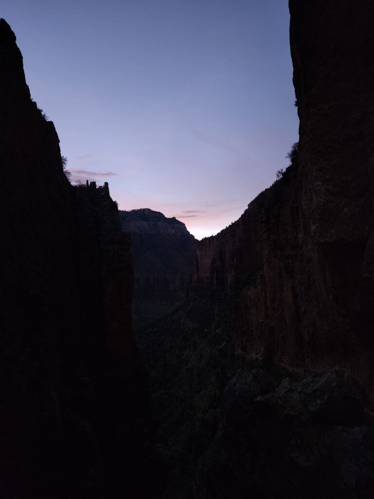
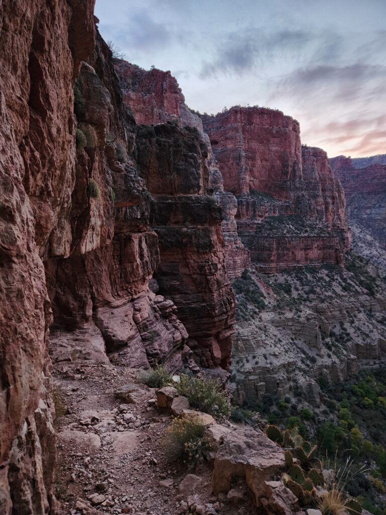
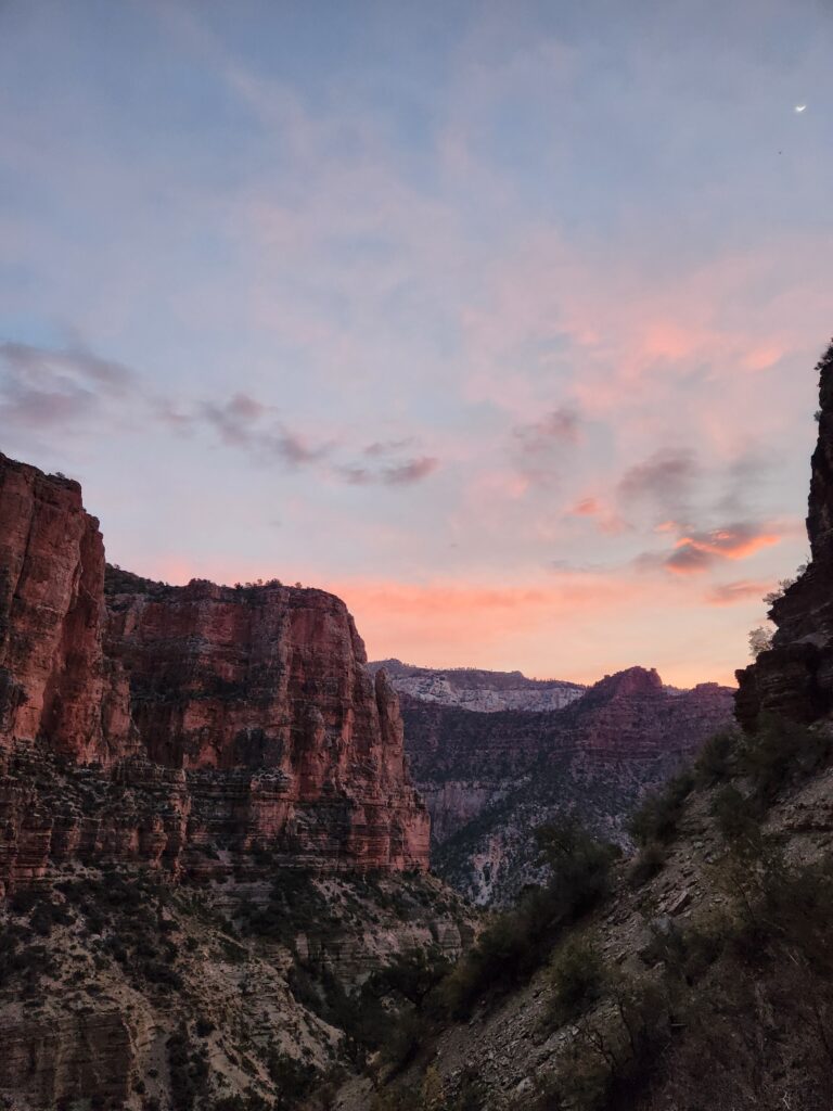
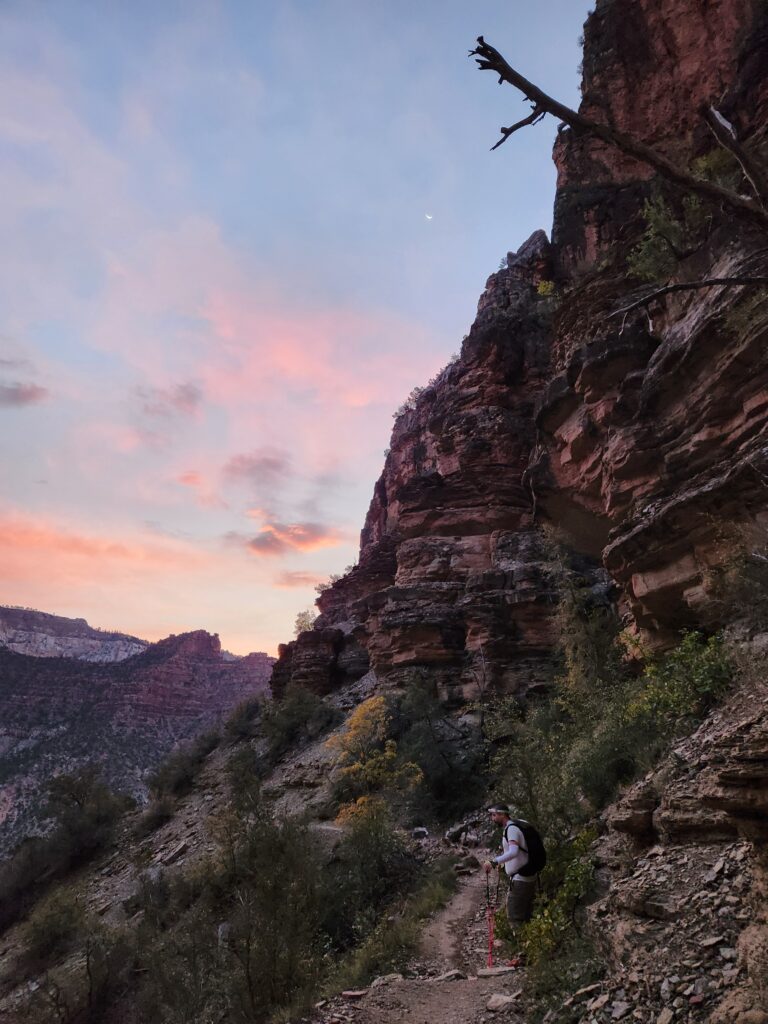
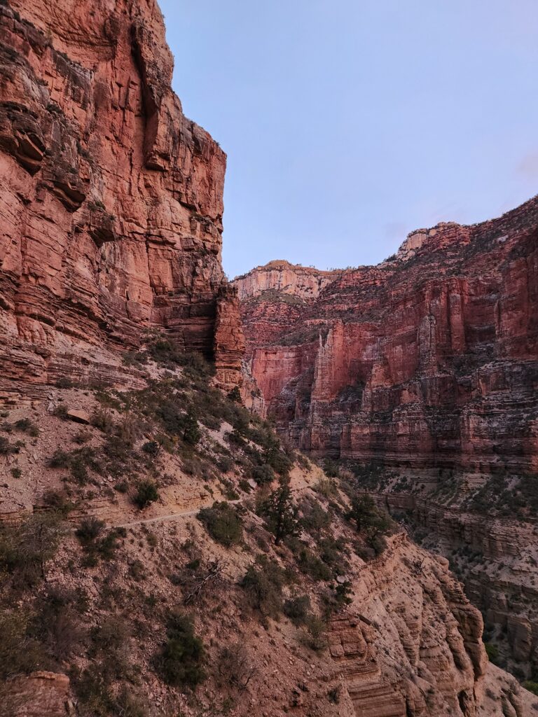
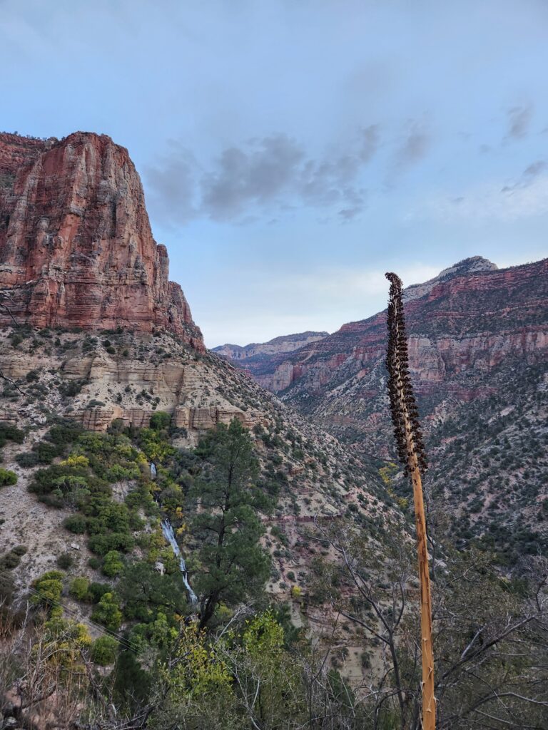
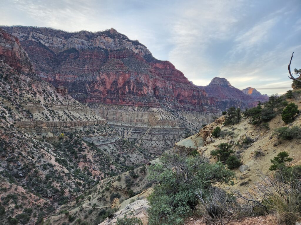
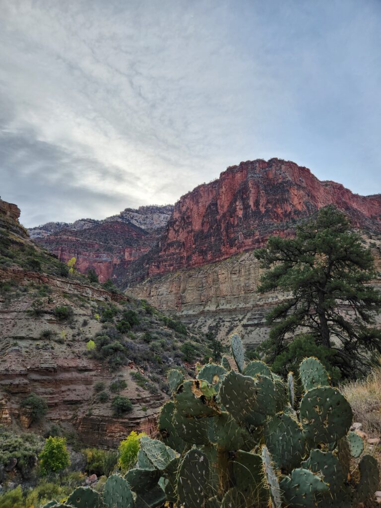
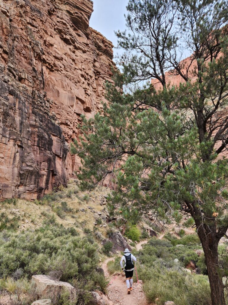
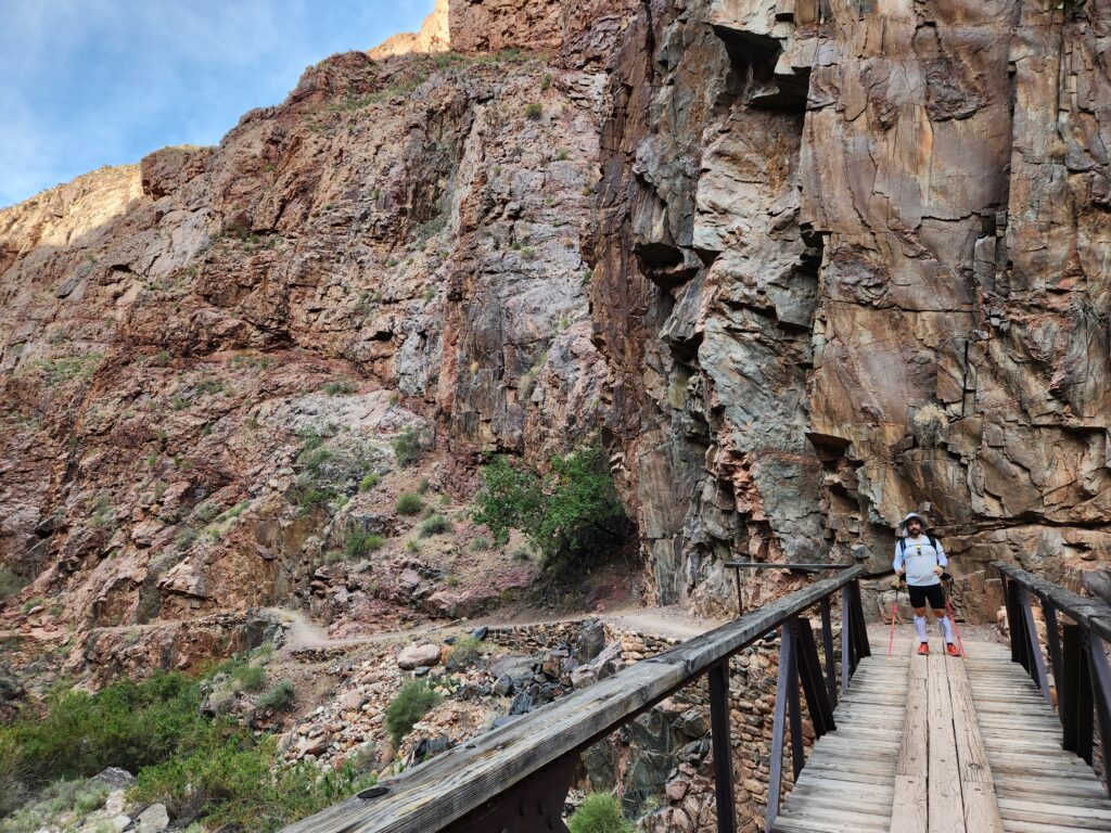
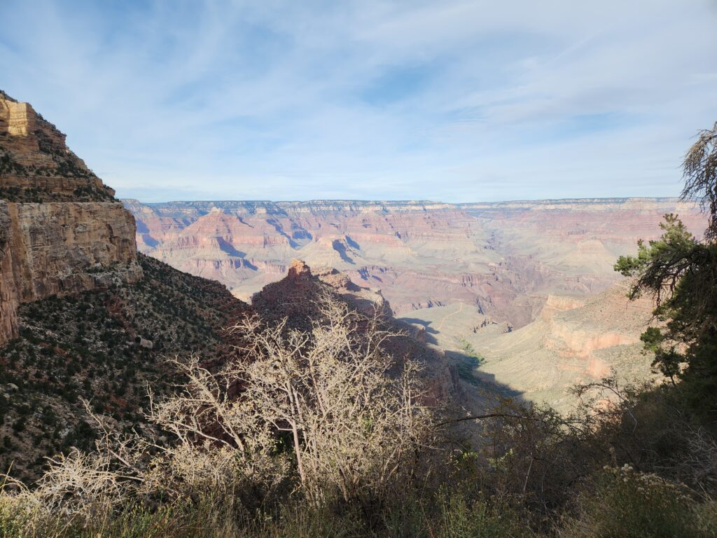
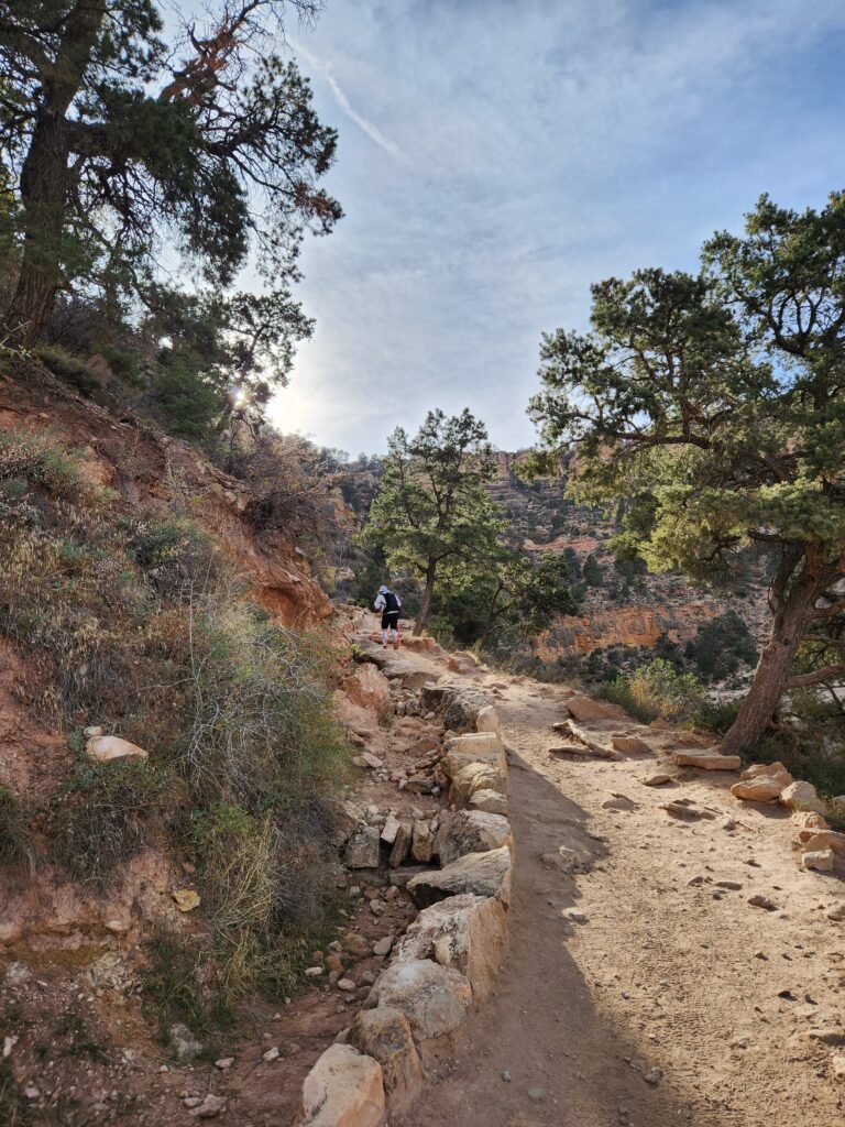
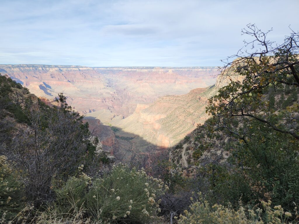
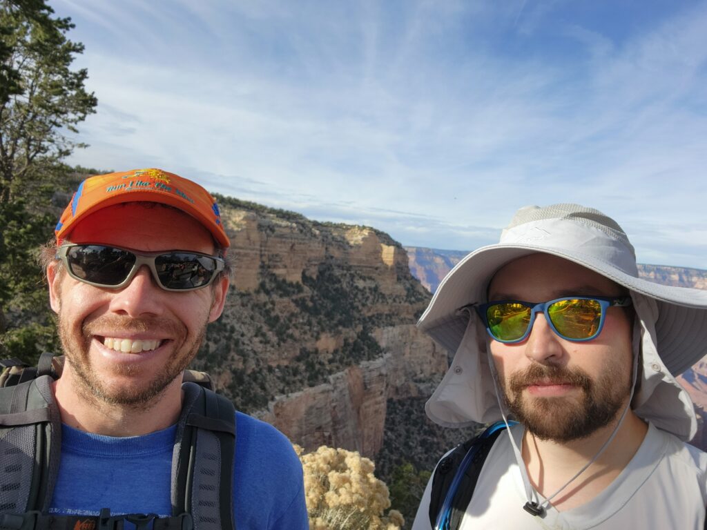
We started the hike around 4:30 am and finished it 11 hours later (with ample stops to soak in the views). Starry sky followed by sunrise in the beginning were unbelievable. After the sunrise, there was a mile or so, where the path was very exposed, and given that I have a major fear of heights, it was a bit unnerving, but thankfully it was over pretty quickly. We got really lucky with the weather, but also timing was perfect: the first half of the hike was fully in shade, and the final climb was in shade too, this made it a good deal easier. Initial descent and final climb were not bad at all (given that we had poles): I was slightly worried for my knee that proved to be a bit problematic in prior months, but thankfully I didn’t feel a thing. Towards the very end you start feeling the altitude a bit, but for me it just resulted in slightly heavier breathing and no other setbacks. For cooling, I kept dumping water on my head and arm sleeves at every water stop, and it proved to be more than enough.
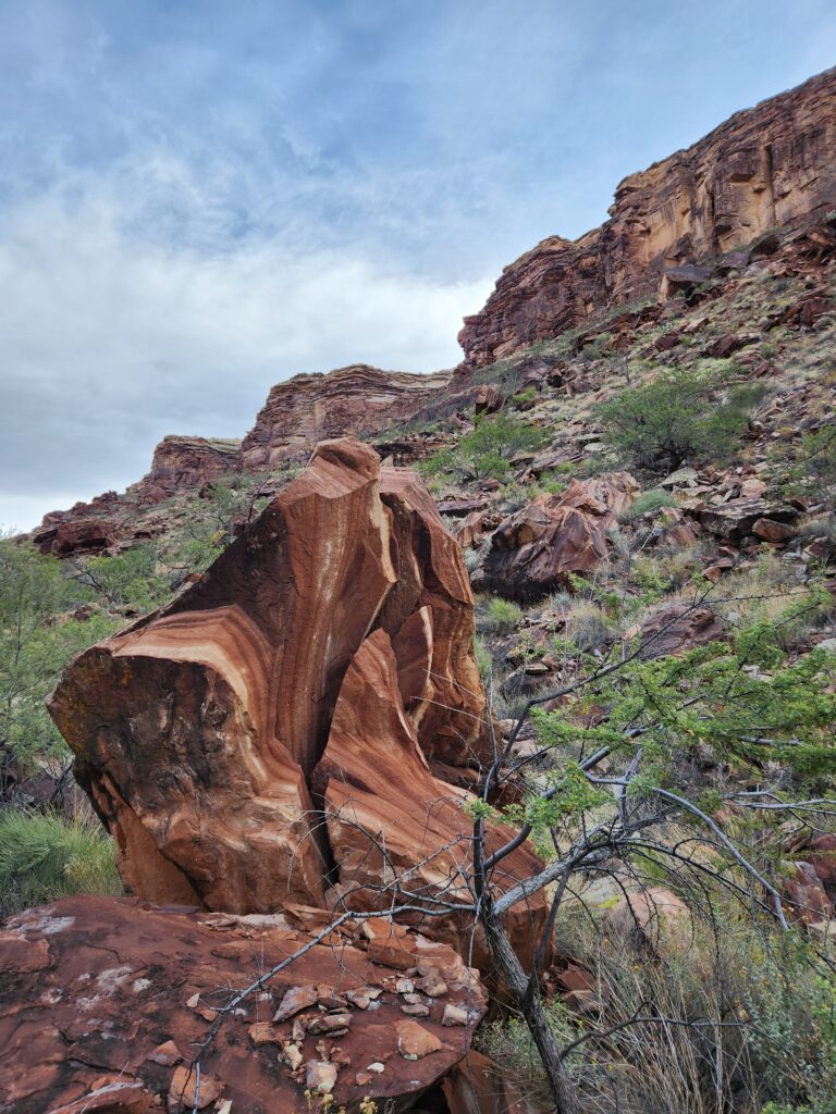
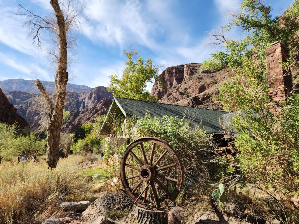
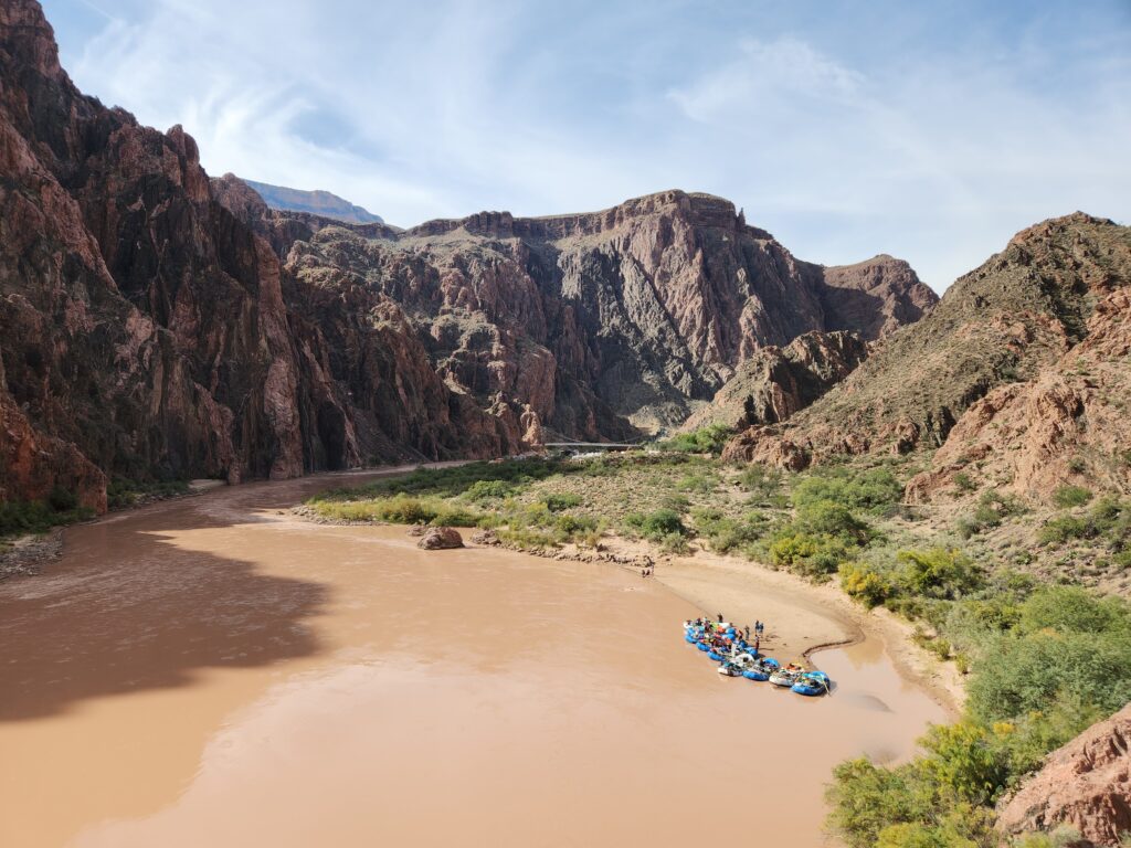
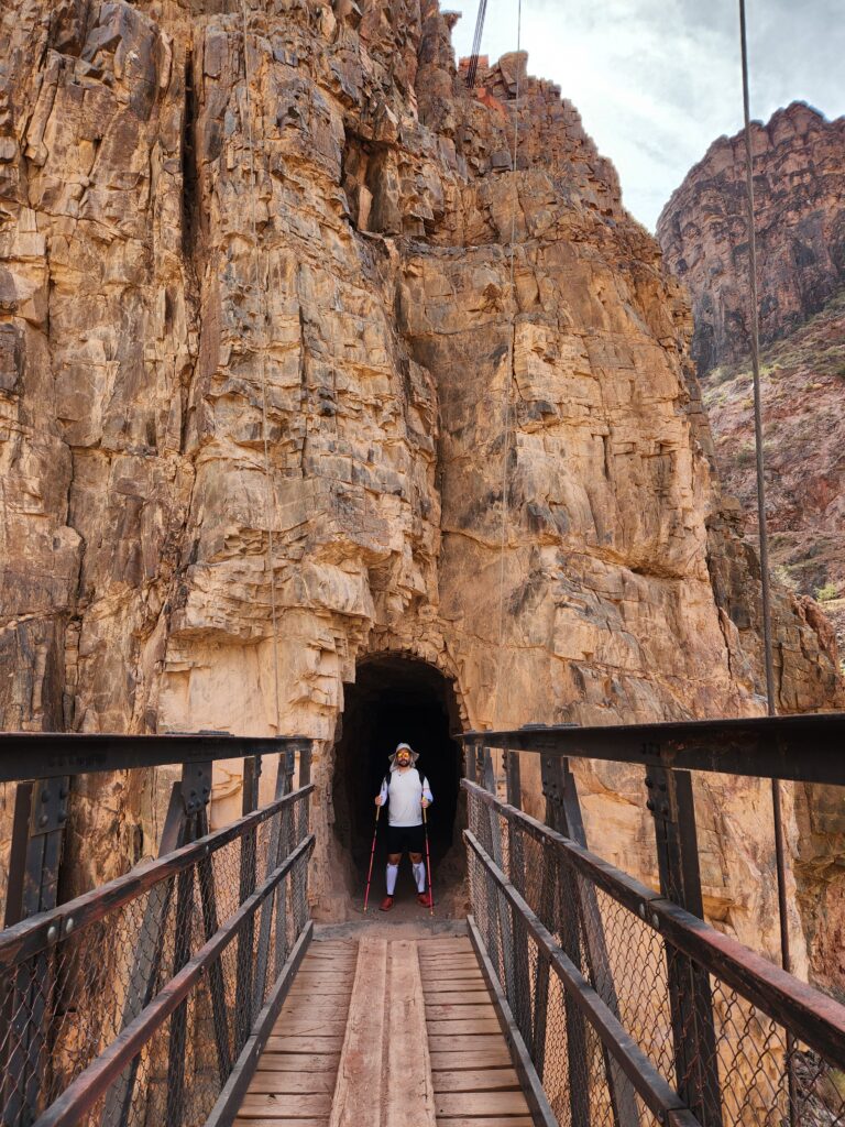
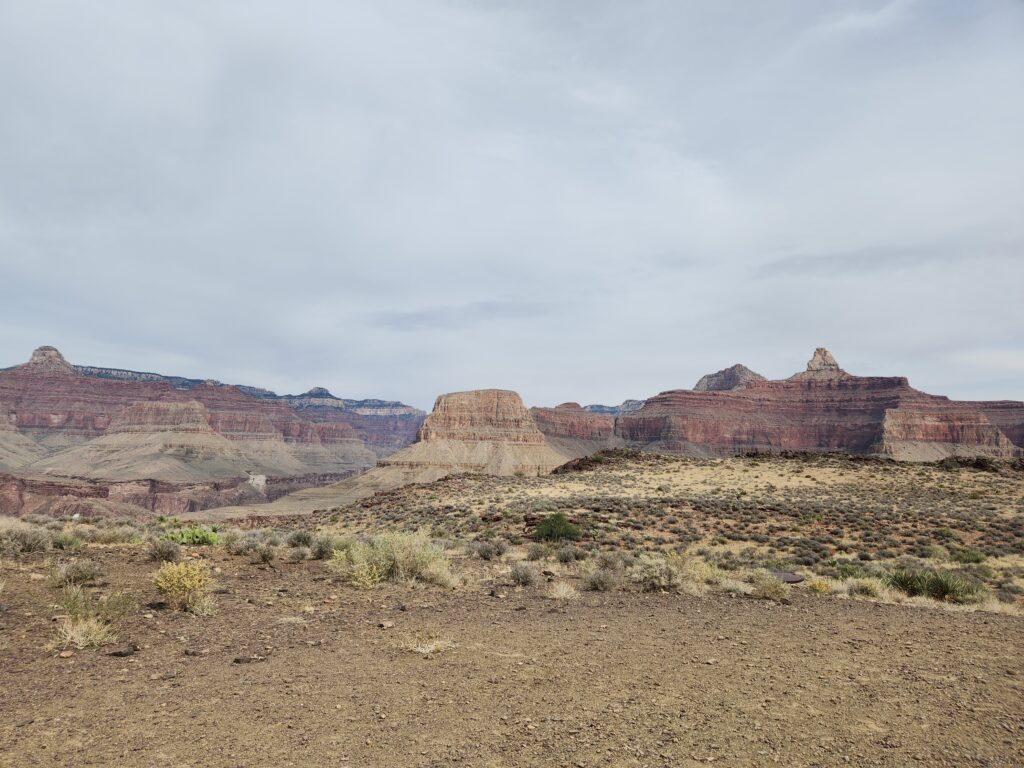
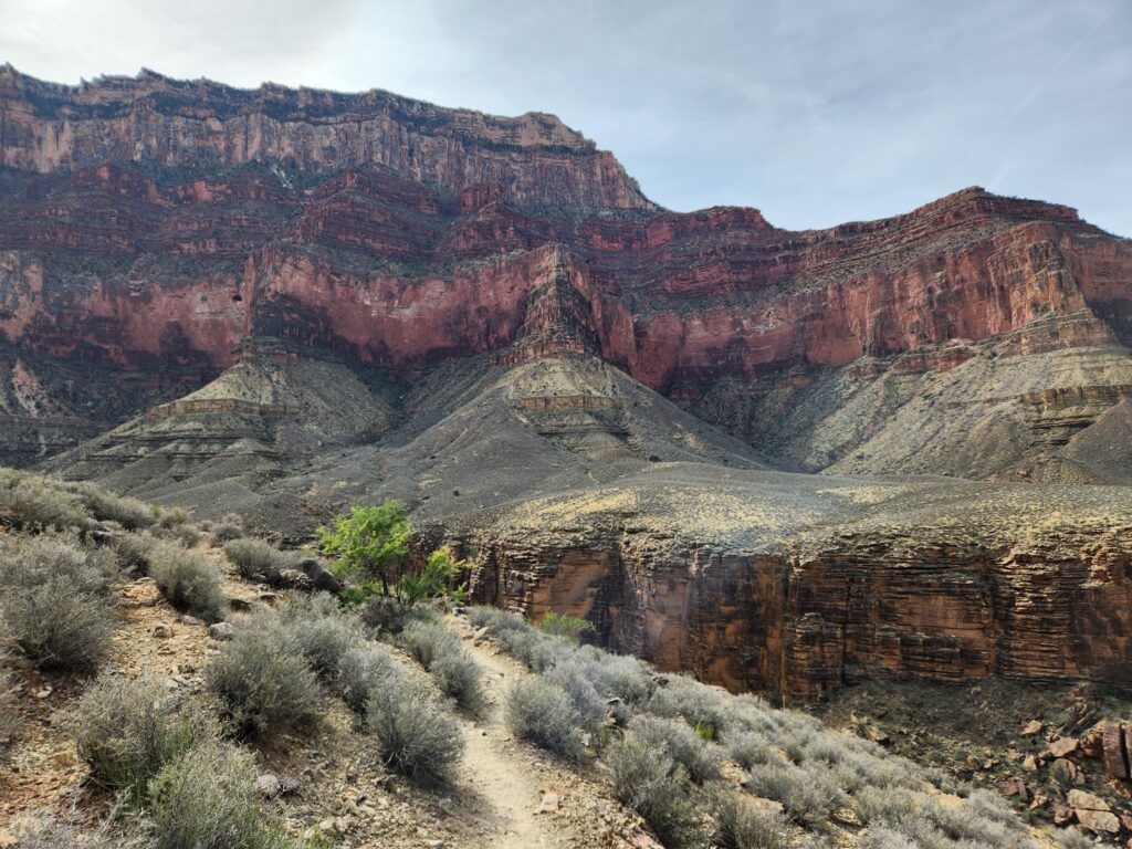
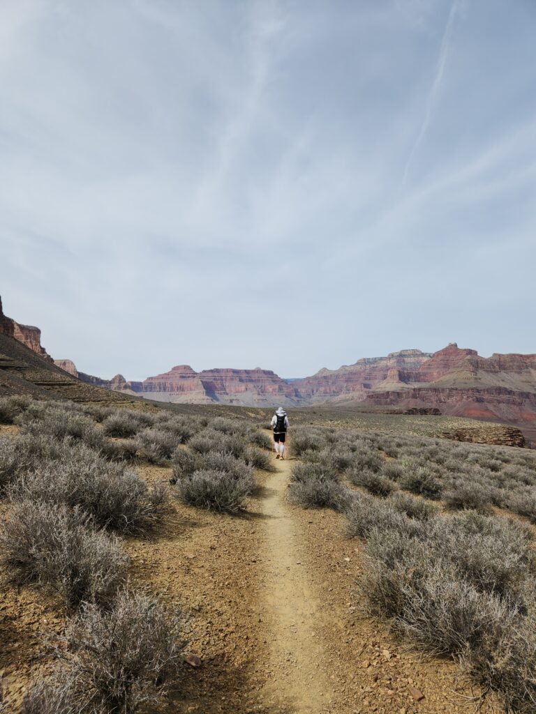
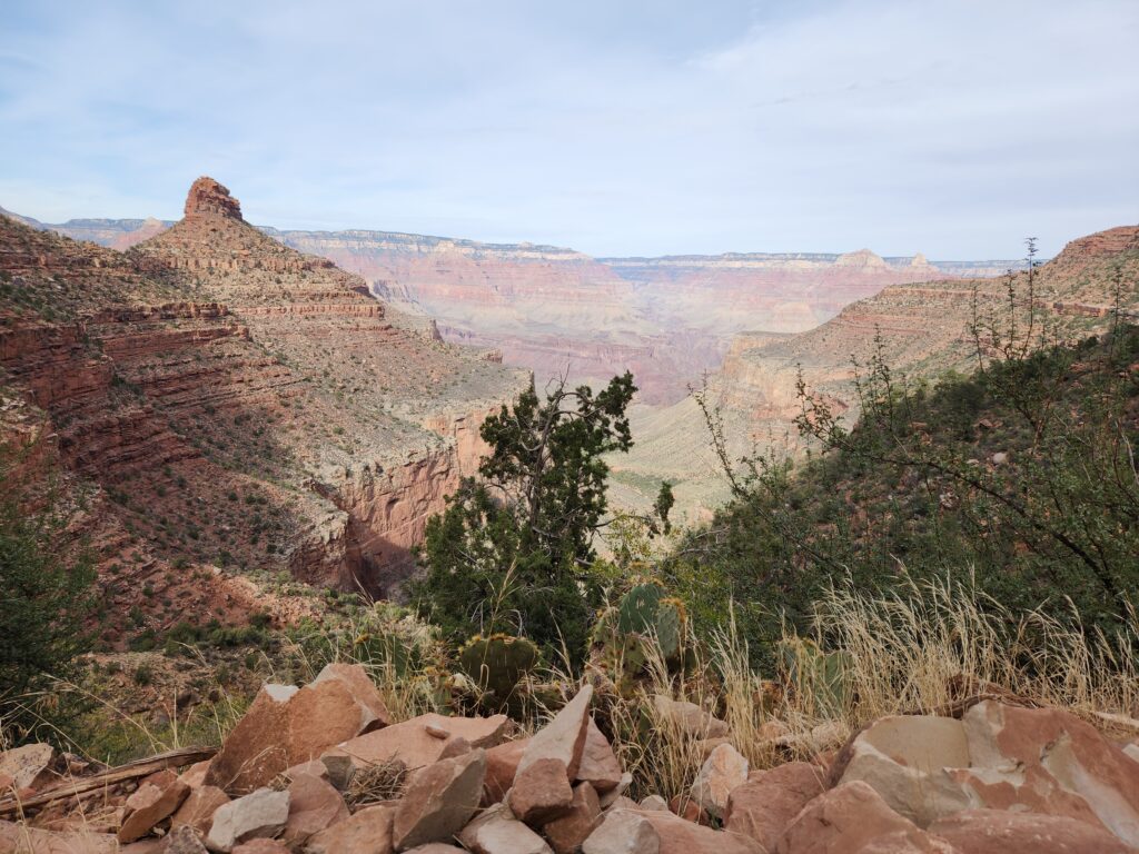
Here are some pictures (click on the arrows!) from the hike (courtesy of Huck), but as always the views are way more magnificent in-person!
Aftermath
On a physical recovery side, my quads hurt for a few days, but not nearly as bad as after a marathon. However, right before the hike I caught some annoying cold, and while during the hike itself, my body rallied and I felt great, afterwards I crashed and felt really sick (in particular, completely lost my voice). Still recovering from this one.
On a mental side, I found that, whenever you put your body through a tough challenge and at the same time surround yourself with beautiful and vast nature, this has a really strong psychedelic and therapeutic effect. When I returned from the trip, my brain underwent a reset and I started feeling much less stressed and much calmer. Highly recommended to anyone!
As any running enthusiast, now my brain is pestering me: can I run this route instead of hiking it? Can I run Rim-to-Rim-to-Rim? I guess it’s fair to say that this was not my last time in the canyon.
